A Long Run Through Minnewaska State Park Preserve
I decided to take advantage of the pleasant sunny Fall weather to make the trek up to Minnewaska. I hadn't been there in a number of years, so I felt like I was overdue for a visit. While I'm not longer specifically training for a race, I wanted to do something long and challenging, but still offered many breaks (e.g. for photography or to simply take in the sights).
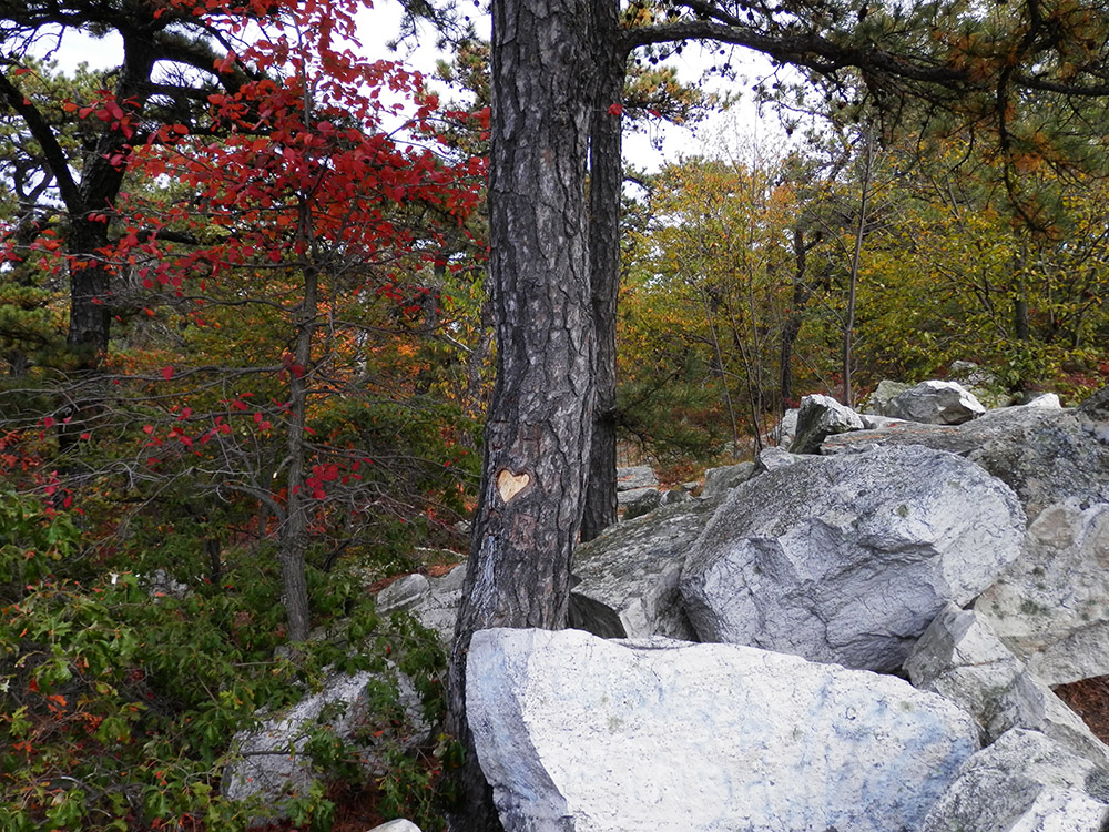
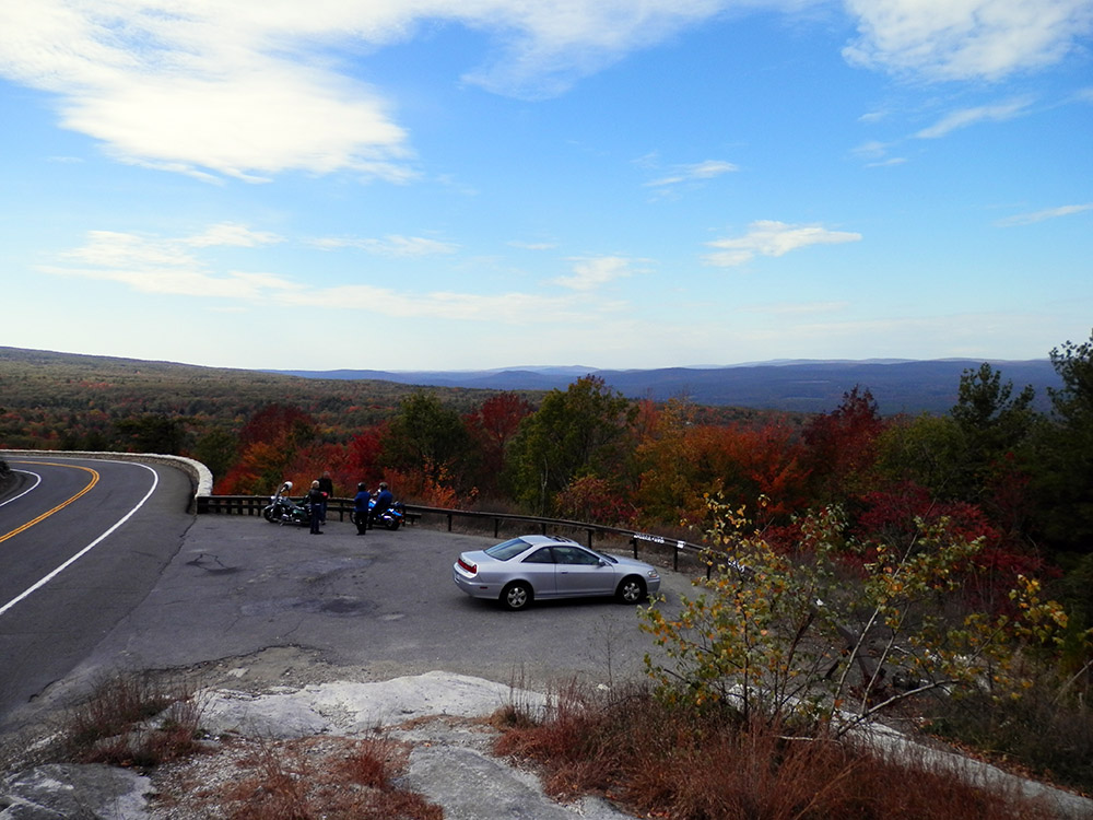
The ride was pleasant and uneventful. I drove through Gardiner for the first time in probably twenty years; I thought it was a little more hip than before, but that's going up from zero so it's not really a slight (or compliment). I wanted to park in the lower lot at Minnewaska, so I skipped the main entrance only to discover the lower lot entrance was closed. I continued up the road for a mile or so to a lookout that I could use as a turn around. Way back in the day (I should say night) it was a nice makeout spot, and sure enough there was a tree with a heart carved into it. While I was there it was just me and a few older bikers. No one was making out.
I made my way back to the park and found out they were simply being cheap; it was $10 to pay for parking and they didn't want to pay employees to operate both lots. So I paid up and drove the one lane connecting road/path to the lower lot. There were a few folks, closer to being empty than full (perhaps not too shocking since it was mid-week).
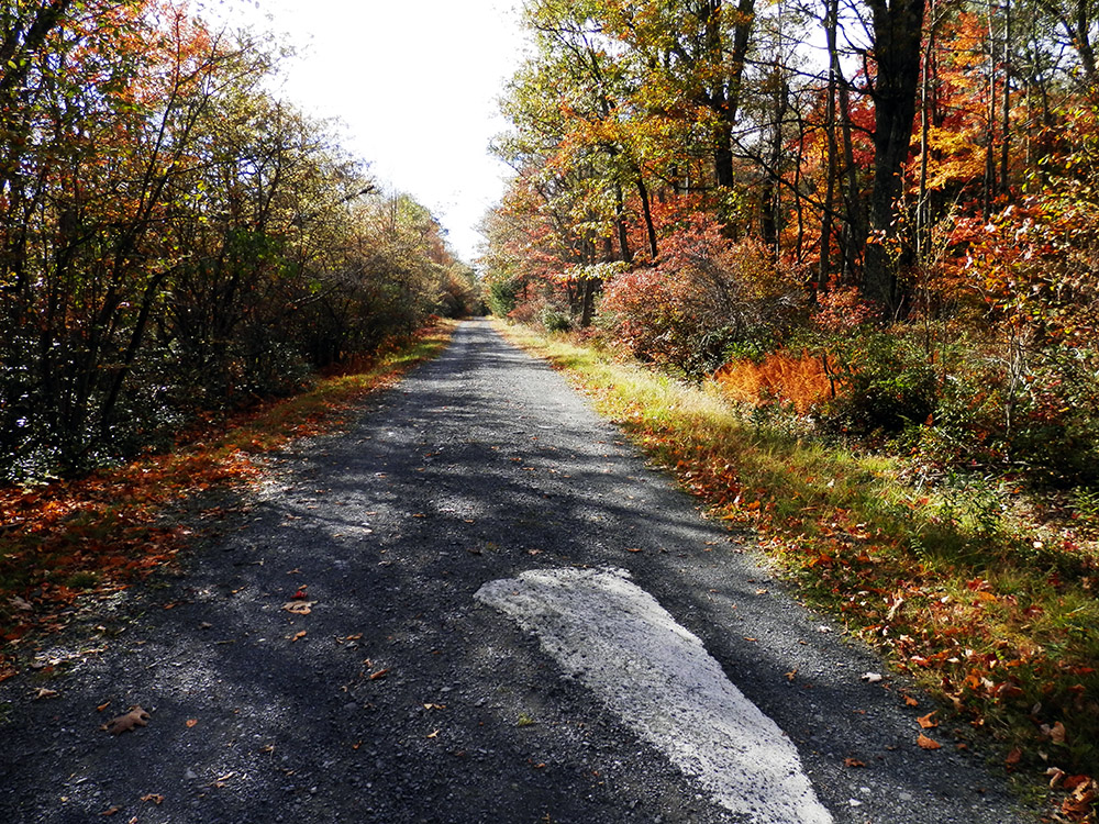
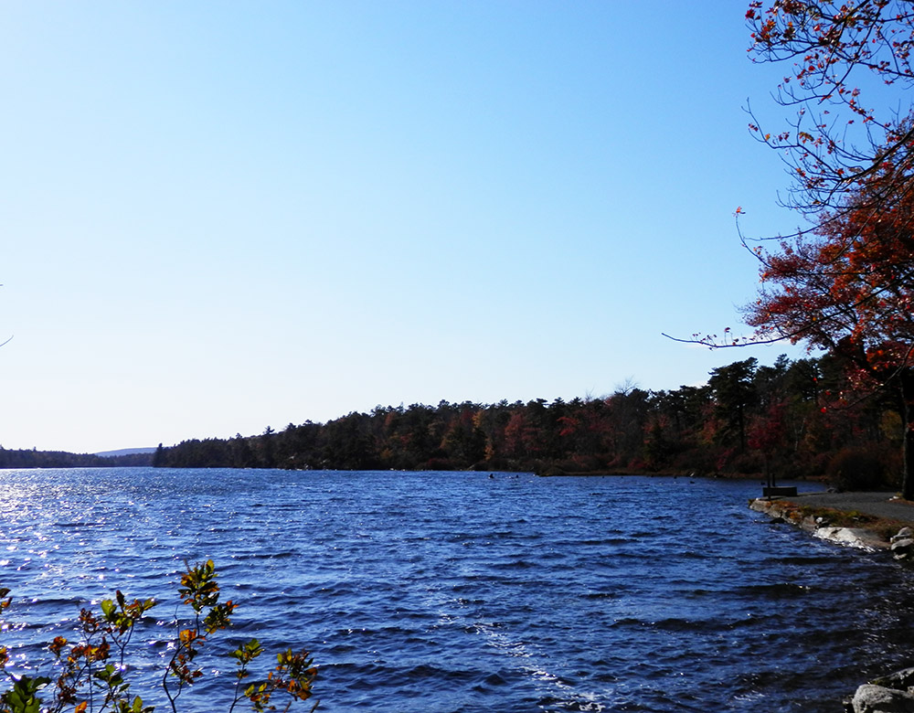
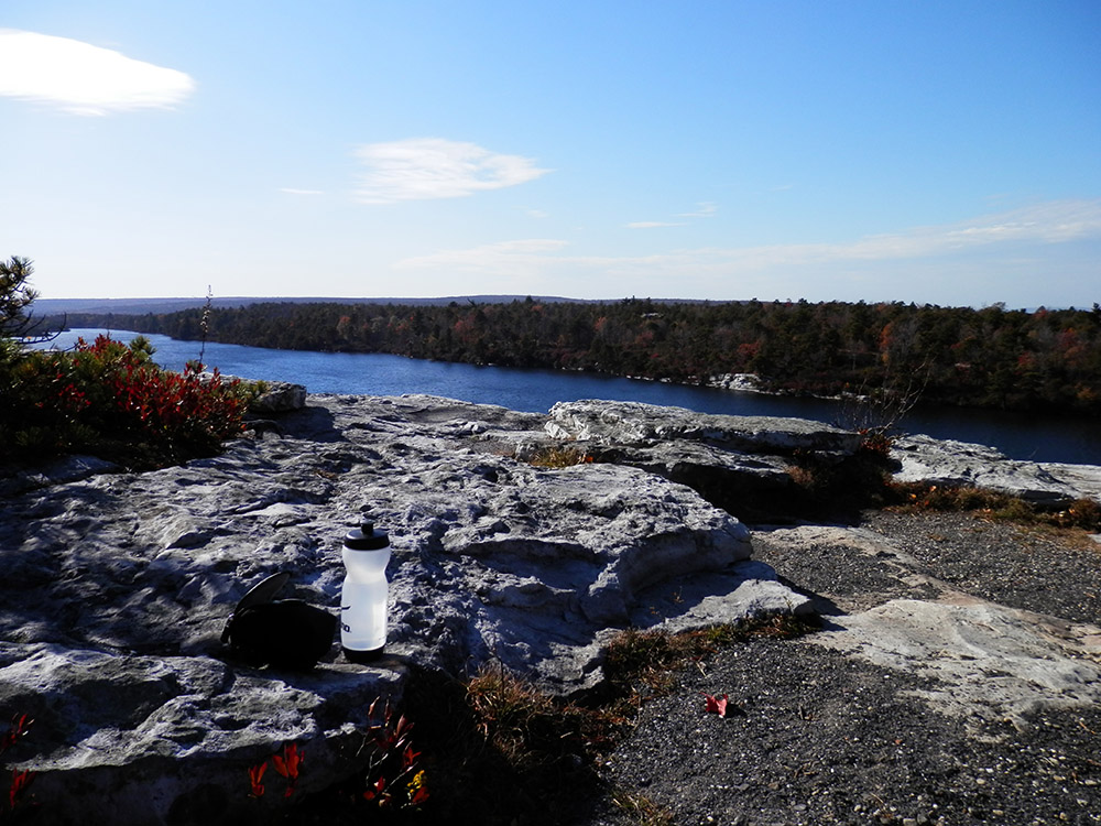
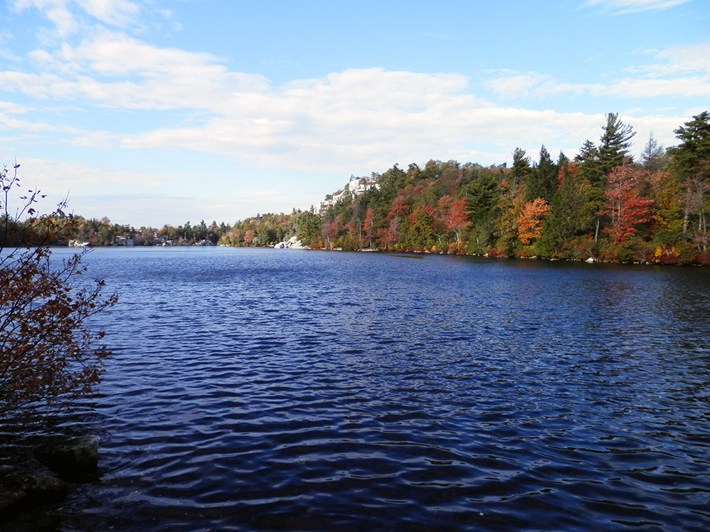
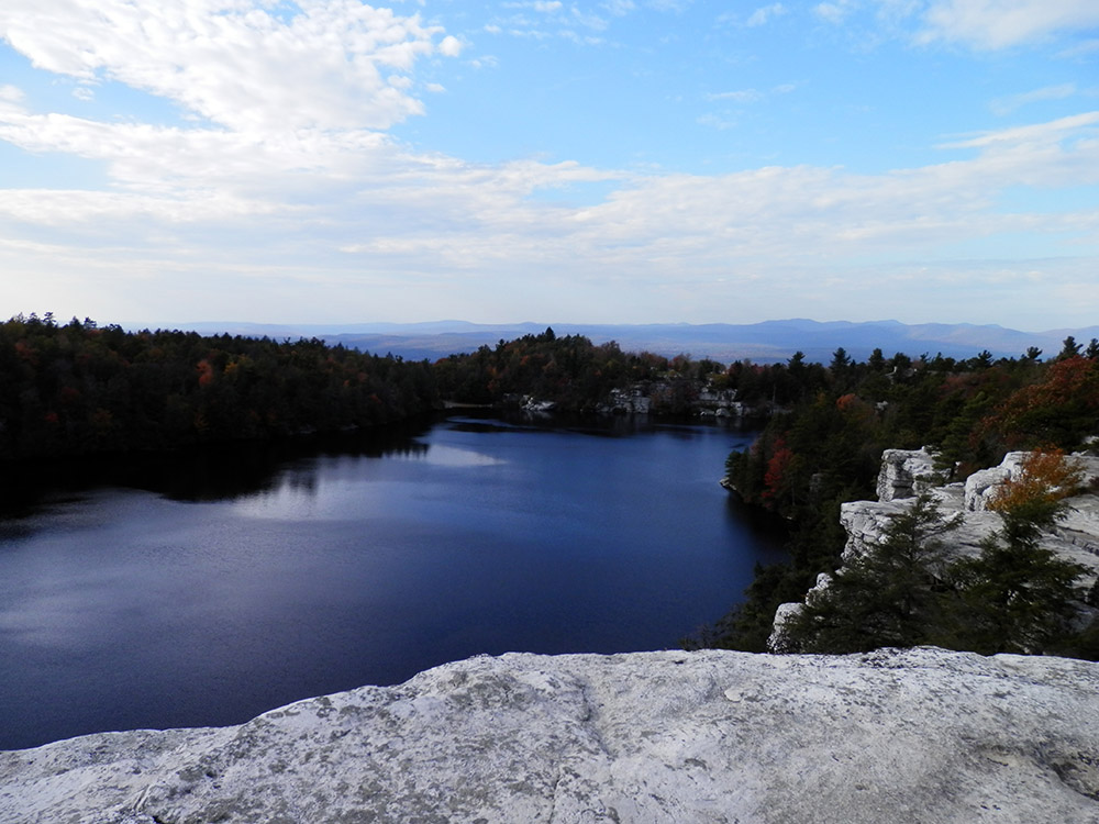
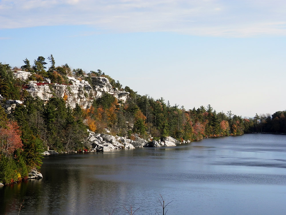
The Lower Awosting Carriageway goes slowly up for two miles. It's pleasant and not a back breaker. But then it has a couple hills in the last half mile or so that are killer; I ended up walking a decent stretch there. As the name implies, it leads right to Lake Awosting, which is the largest lake in the park. Unfortunately the sun was on the opposite side so my photos didn't come out the greatest, but still some nice views at lake level and up on the cliffs that overlook it.
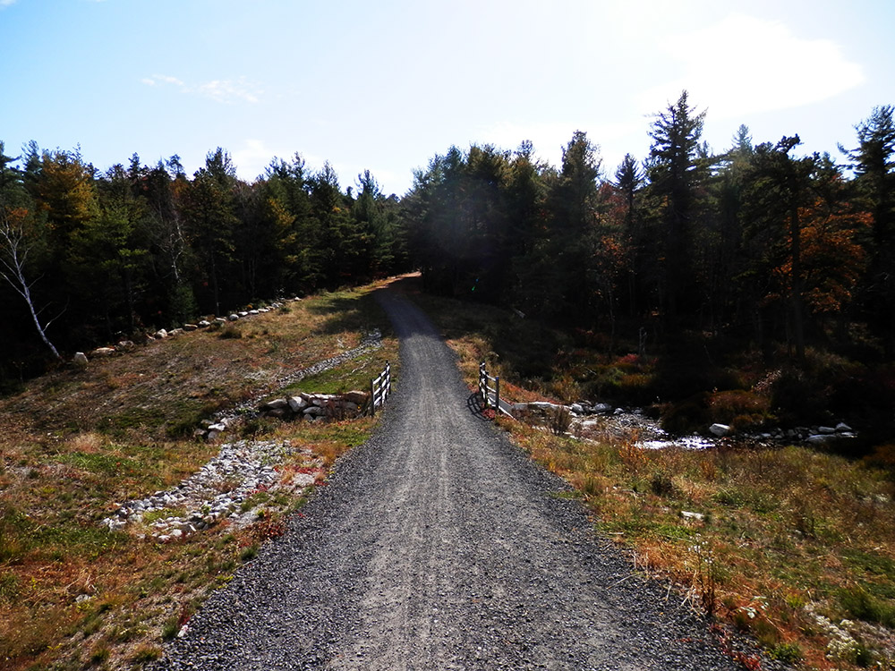
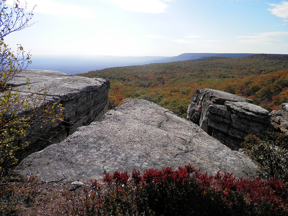
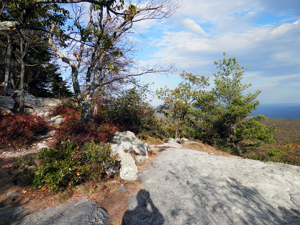
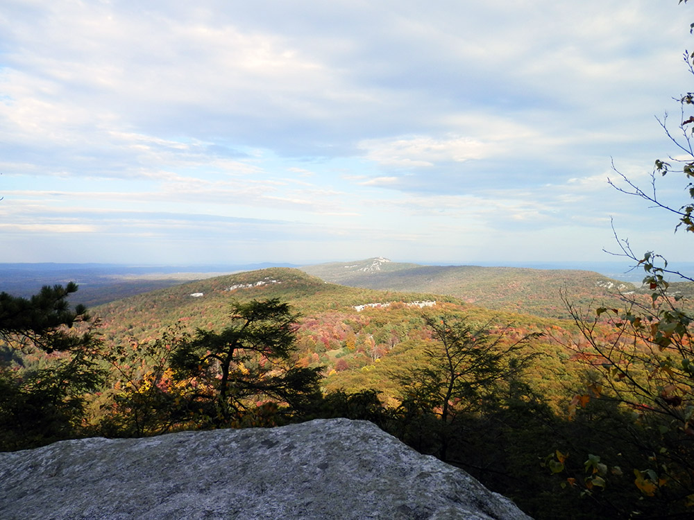
Thankfully before I set out I knew that one of the main connecting trails between the lakes was closed due to construction, but they also had a note as of a couple weeks prior that a detour was in place. So I split off onto Castle Point Carriageway for a short stretch before hopping onto Hamilton Point Carriageway. The path was a lot of fun. It was mostly downhill, so it was easy going… sort of. It was right along a ridge, so the very-mild-fear-of-heights would occasionally kick in. Every few steps offered a beautiful view of the valley, so I stopped often for photos and simple lounging.
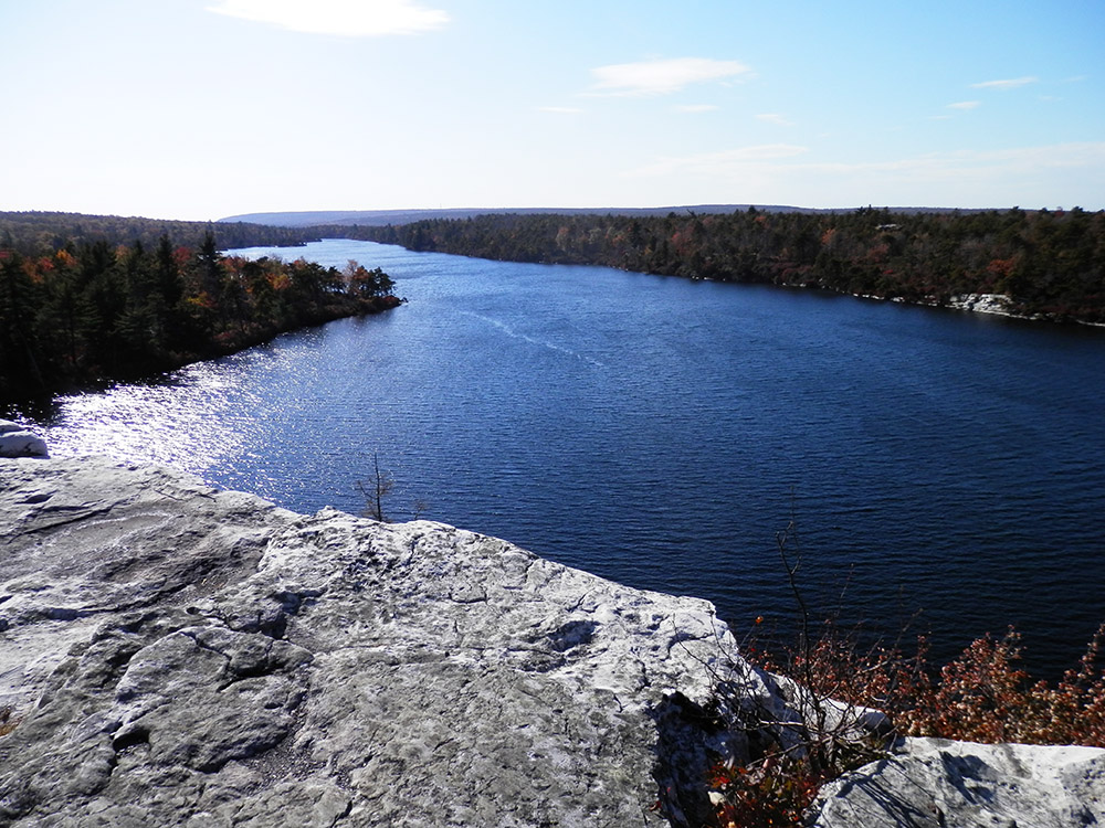
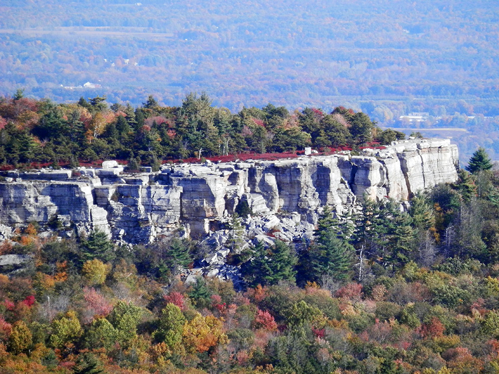
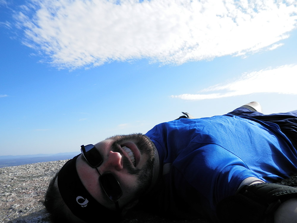
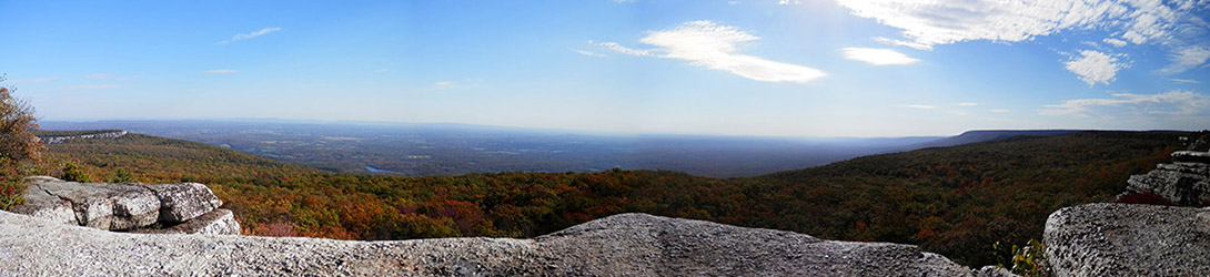
Hamilton Point itself was pretty awesome. There's a large outcropping of solid stone with an incredible view of the valley (perhaps 180′, I didn't really measure, but did take a panorama so you can guess for yourself). The wind kicked up a few measures, so I was a tad paranoid about losing my camera case over the edge. Or being blown off myself! No, not really. But my self shot was taken lying down. Totally not because I was nervous.
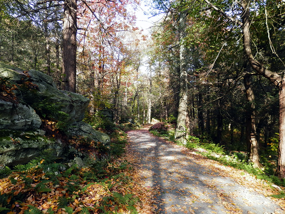
Eventually the trail left the ridge and moved back into the park. It passed through a new biome; instead of gnarly pines, it was a lot of moss and ferns. The air was noticeably cooler, presumably some caves nearby. It was a relatively short stretch of the trail, but interesting nonetheless. Not long after the path reconnected with the original detour and I was soon at Lake Minnewaska.
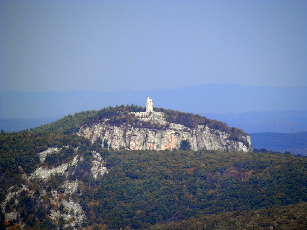
At this point I was getting tired and almost out of water. I looped around from lake level up towards the overlooking cliffs. At one lookout towards the valley, I spotted the Skytop Tower at the Mohonk Preserve off to the side and managed to get a zoomed in photo; it took some tweaking in Photoshop, but doesn't look nearly as bad as I thought. You might say it's presentable enough to post on a blog.
I finished making my way to the top of the cliffs overlooking Minnewaska and took a few quick shots. I was now on the look out for any vending machines or water fountains, but my searches and my hopes were in vain. The food cart was locked up tight and I didn't spy any water fountains. Thankfully it was all downhill from here, right?
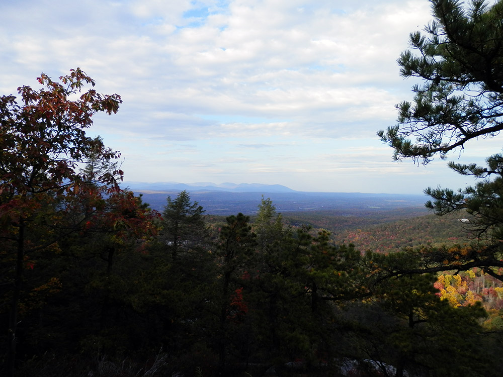
Well, sort of. On my way down the road that switch-backs down to the main entrance, I came to the short path to Beacon Hill. It was marked as being .7 miles. I didn't need the miles, as I was already slightly over what I thought I might do for the day. But the sun was now to my back and I thought I might get some nice shots of the valley from the end of the path. So I ran down, thinking as I ran that this meant I'd have to run uphill on the return. So it goes.
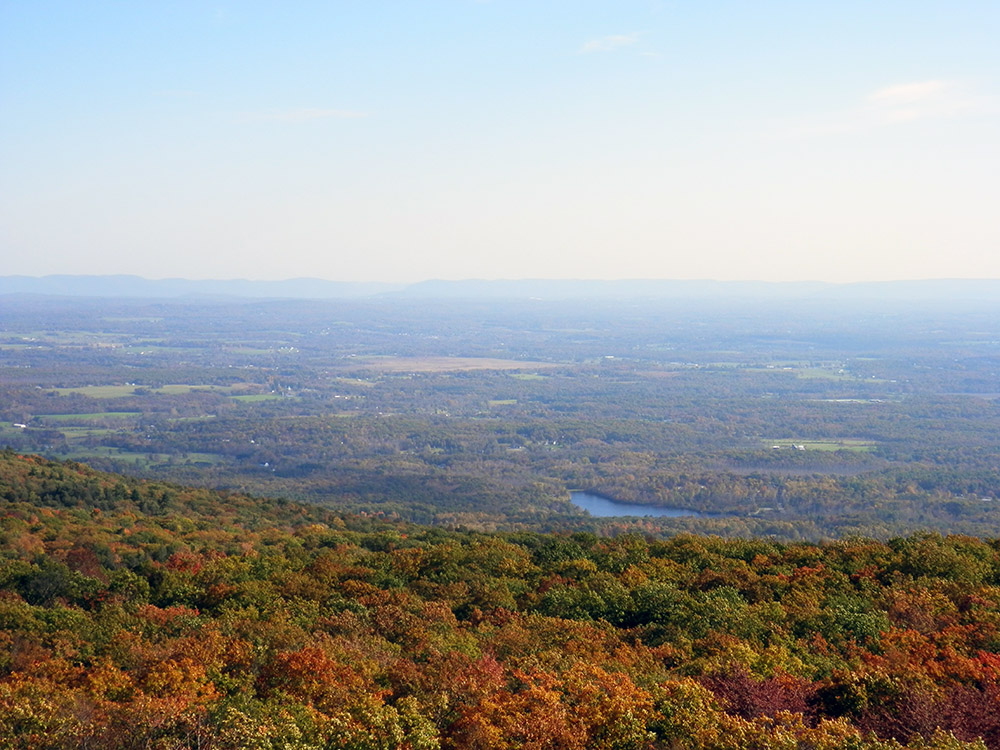
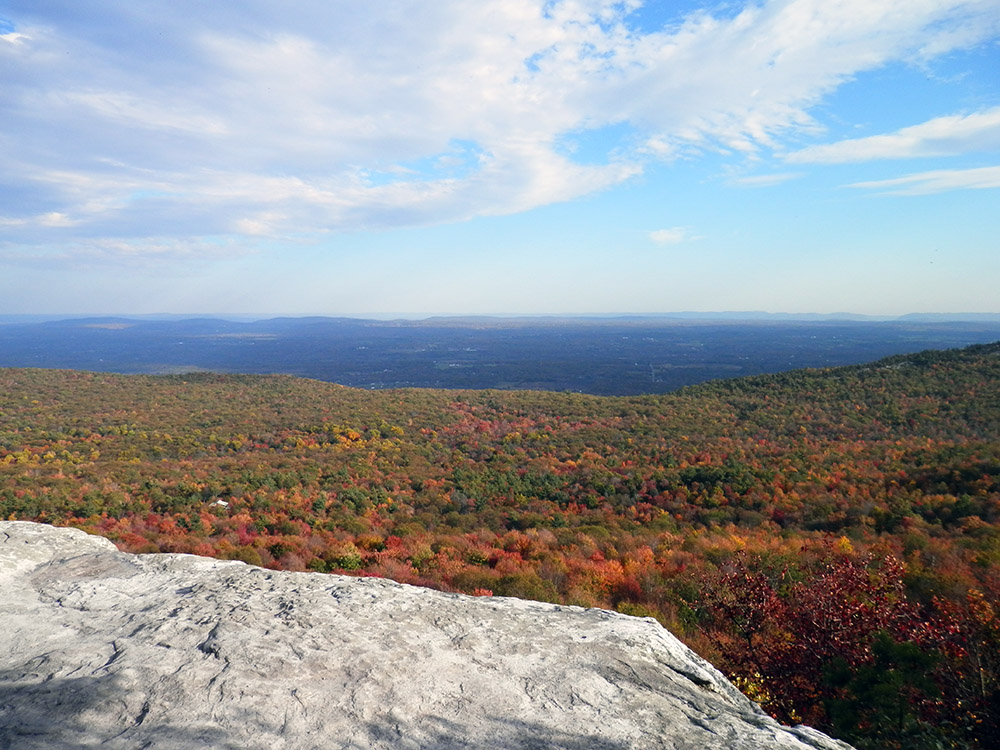
The view from Beacon Hill is pretty nice. It offers another angle on the Skytop Tower, as well as other landmark hills that I don't know the names of. Off to the left in the distance it provides a nice view of the Catskill Mountains.
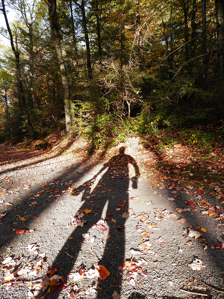
I ran/walked back up the path. The sun made occasional forays into the undergrowth and I took the opportunity to take a shadowy self pic. In one hand I held my camera case and water bottle, in the other I held my camera. I actually got the shot in one take, which was a surprise.
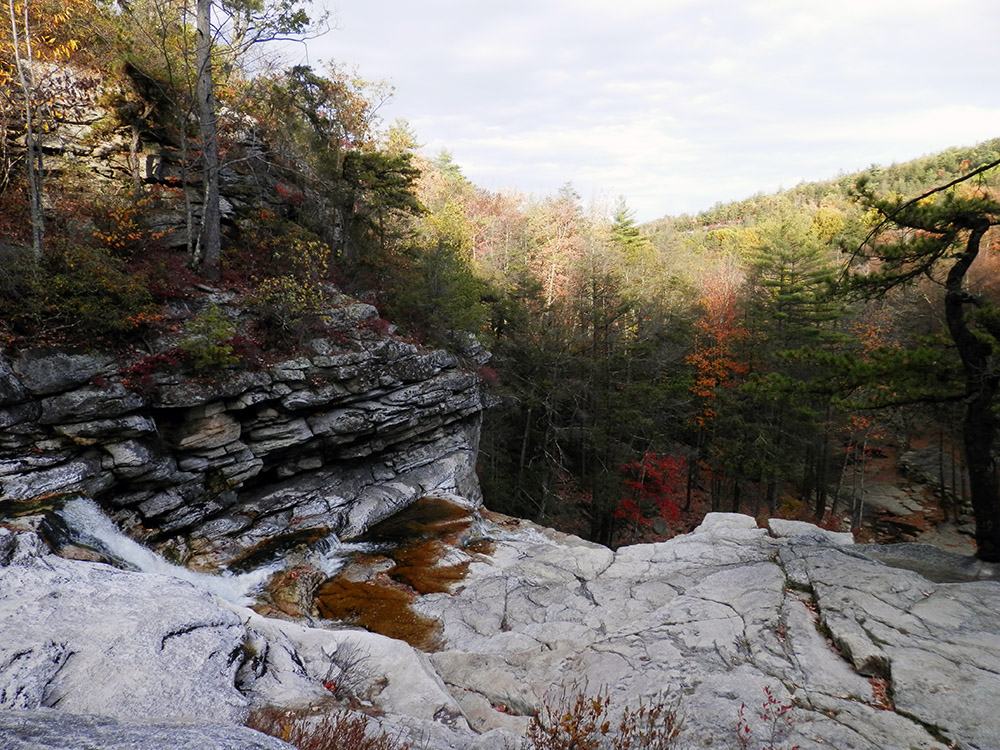
Once I got back to the road I continued down until the path that leads to Awosting Falls. I hate visiting Minnewaska and missing out on the Falls, as they can be impressive. As I approached, I could hear the roar emanating from the small valley below. I walked along Peter's Kill, the small creek that is the source and destination of the waterfall. It's volume was poor and my hopes for a cool show immediately became low. I took a shot of the relative trickle falling from the top of the cliff, but was tired enough that I didn't bother taking the path down below.
I made my way back to my car. I passed by a photographer taking a picture of a couple, the sun shining directly into the camera. I would have prefaced it as “professional photographer”, but that seemed like a silly thing to do so maybe it's just a friend who owns a DSLR. I kept running and didn't ask questions.
In the end I ended up running/hiking/walking 9.34 miles and a PR of 1,043 ft of elevation gain. And I took some photos! 150. Geez. Here are the “select” ones, cleaned up, etc.